
Racing Gaming Chairs
Find Your Perfect Racing Cockpit
Compare our top Playseat racing simulators side by side to find the right fit for your setup, space, and racing style.


Price
$1,199.00
$2,499.00
Seating Position
GT / Rally
Open-wheel / F1®
Frame Material
Steel & aluminum
Premium steel
Foldable Design
Yes
No
Monitor Mount Ready
Yes
Yes
Adjustable Pedal Plate
Yes
Yes
Best For
Immersive GT racing
Pro F1® simulation
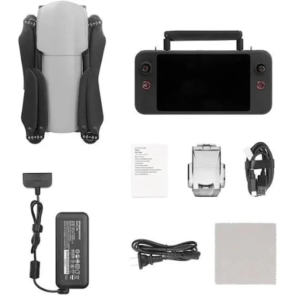
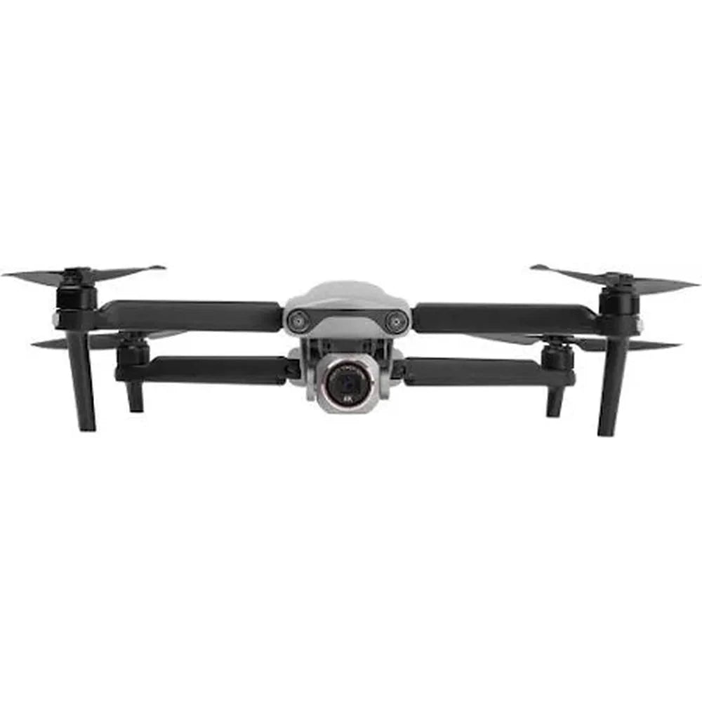
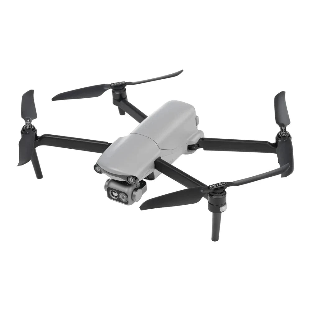
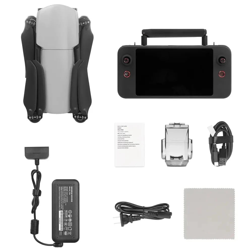
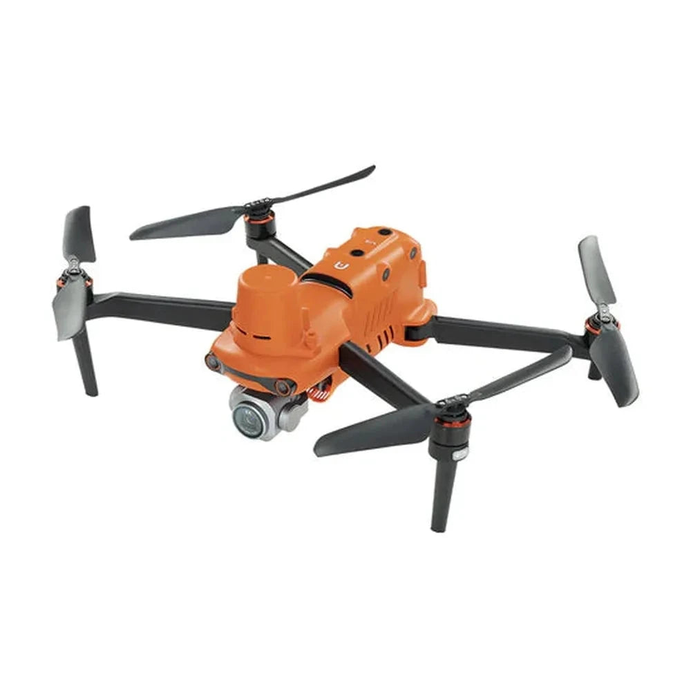
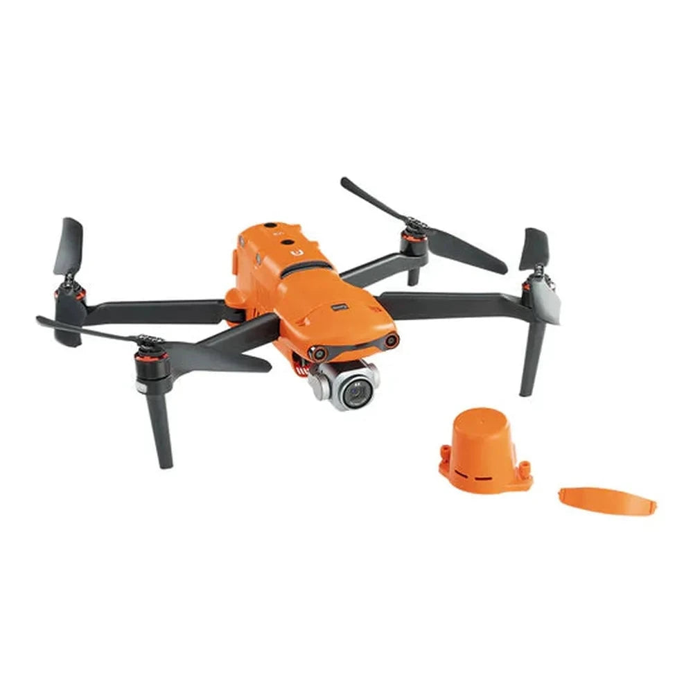
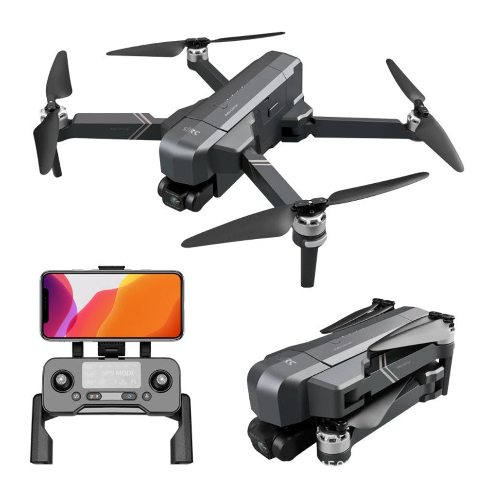
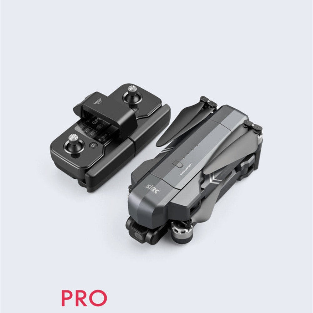
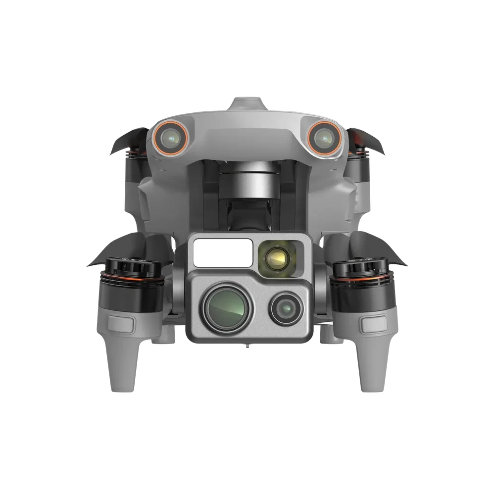
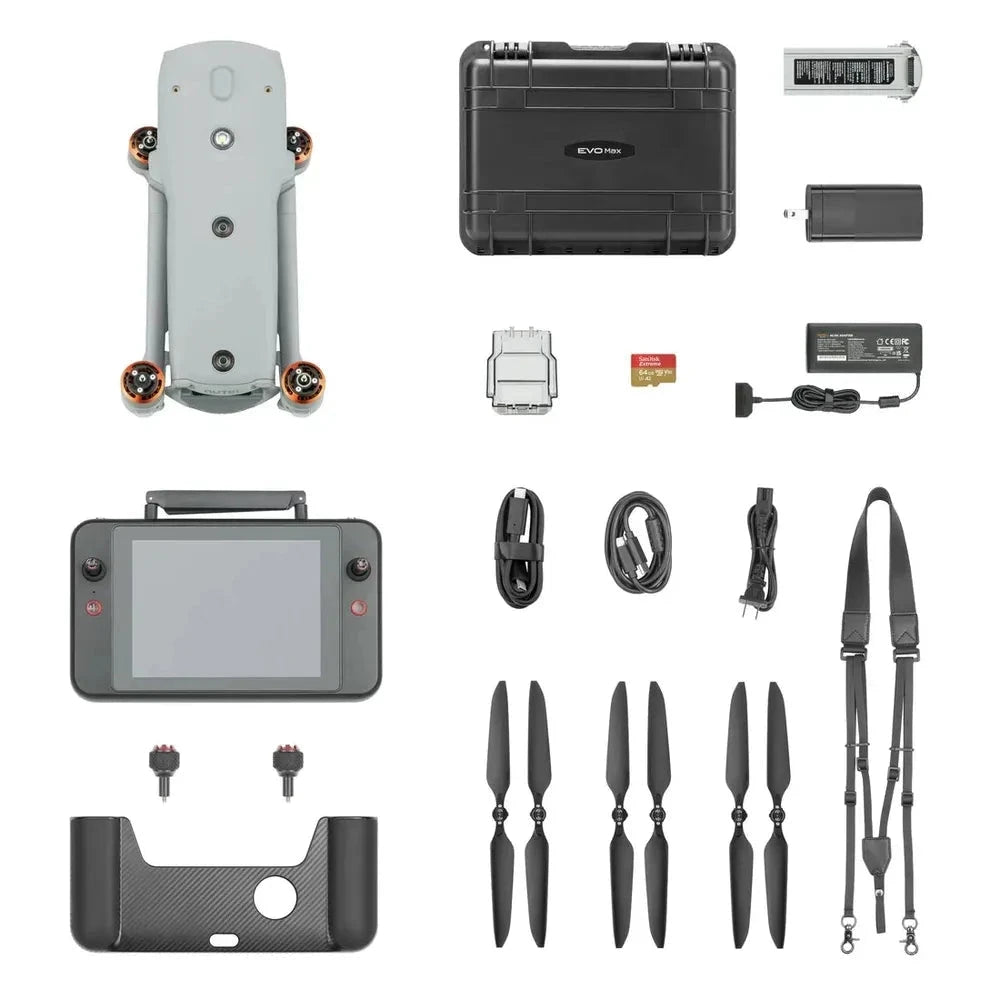
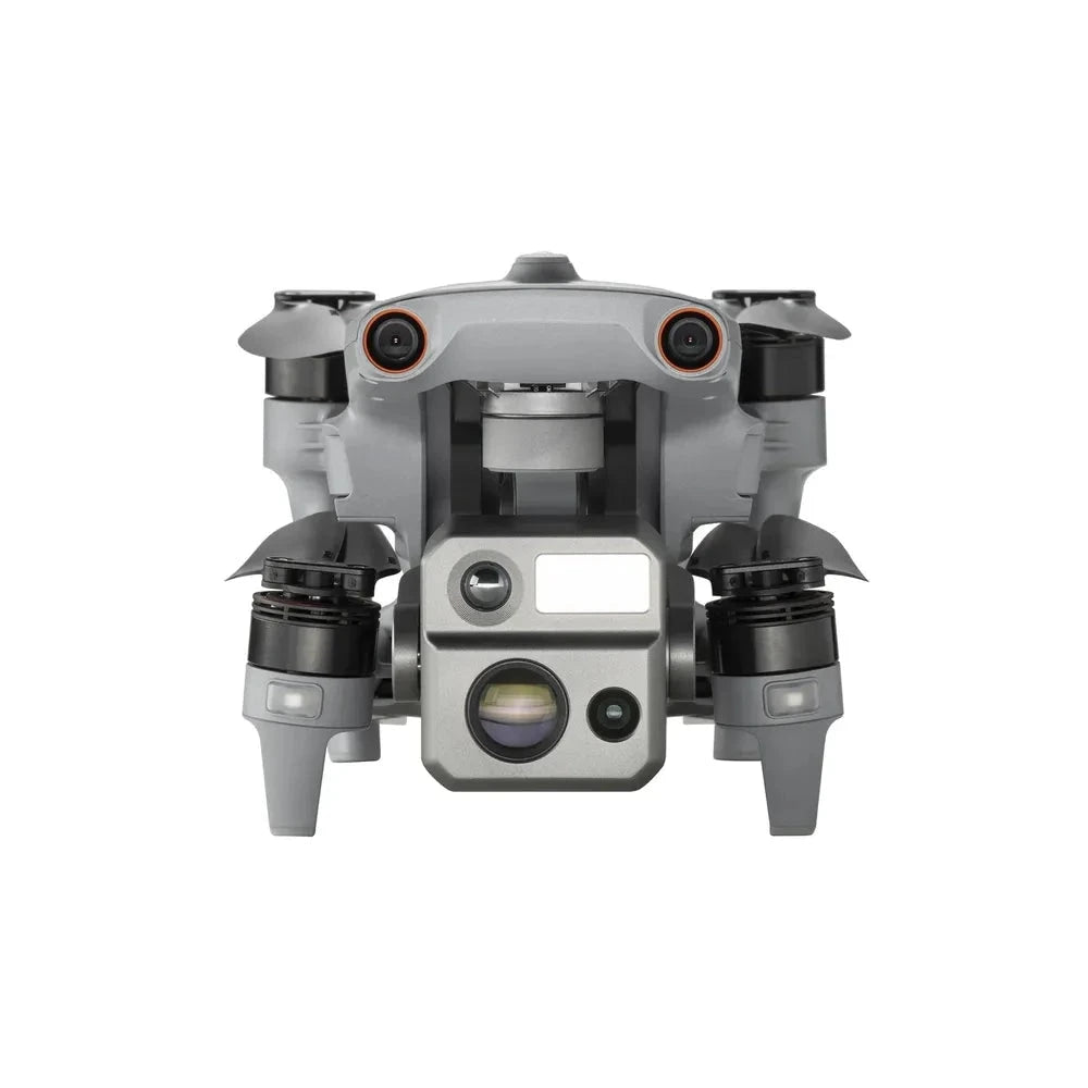
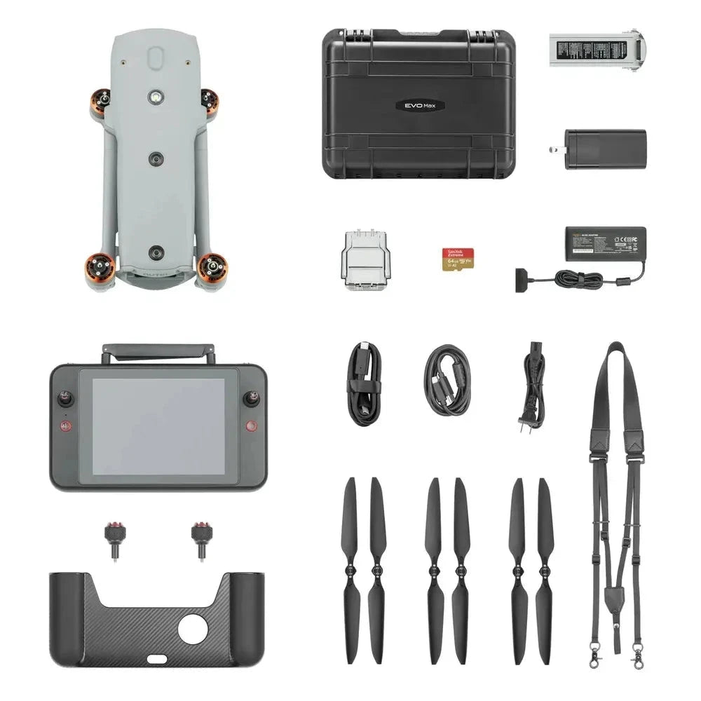
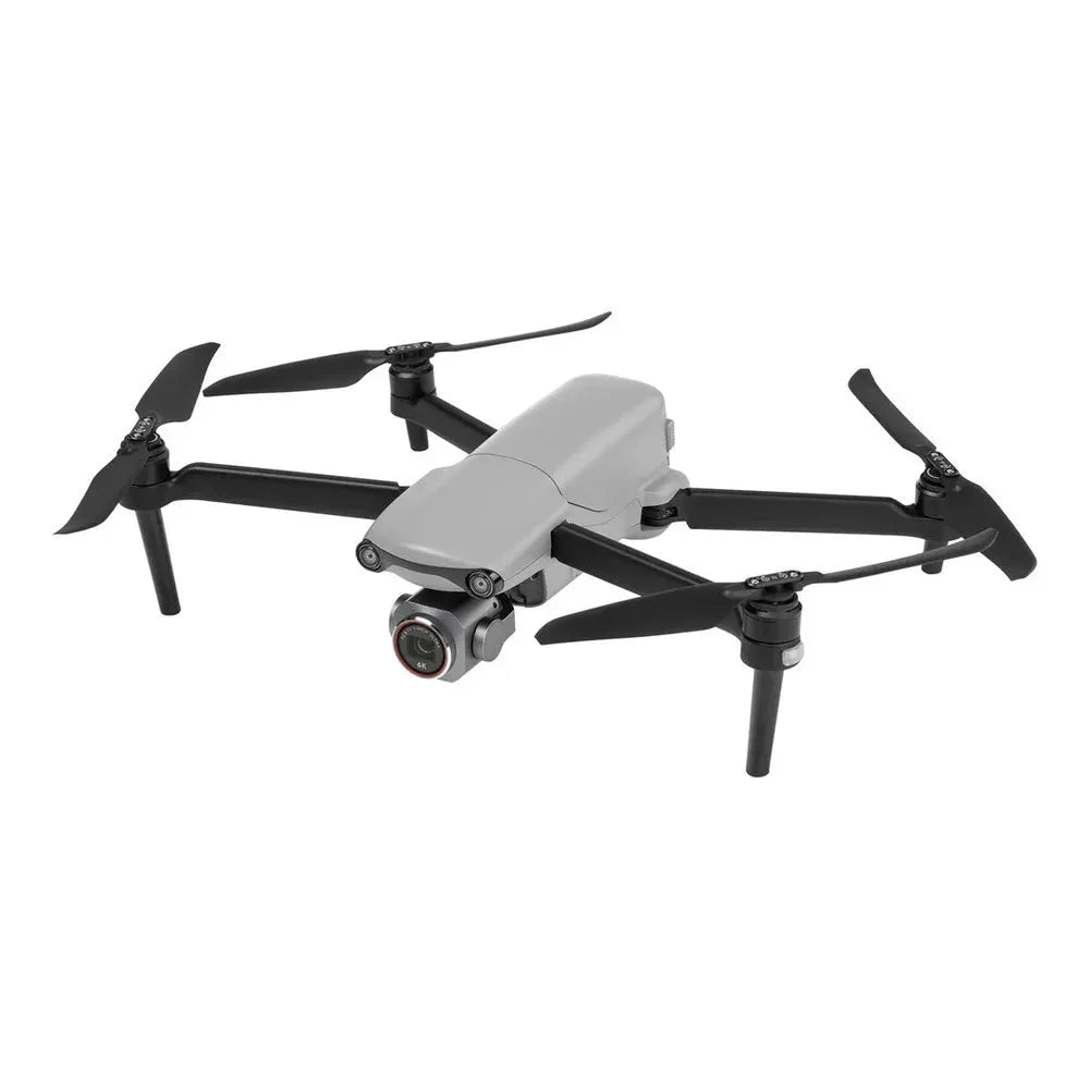
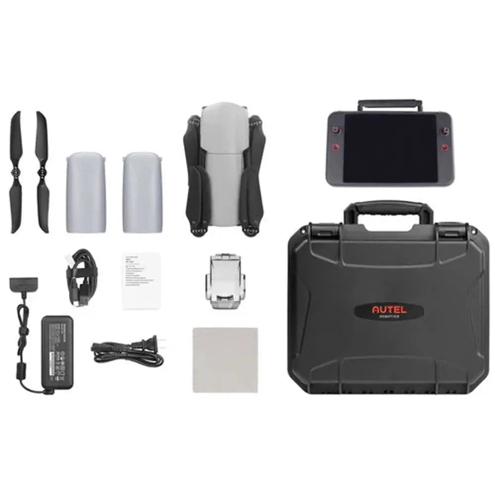
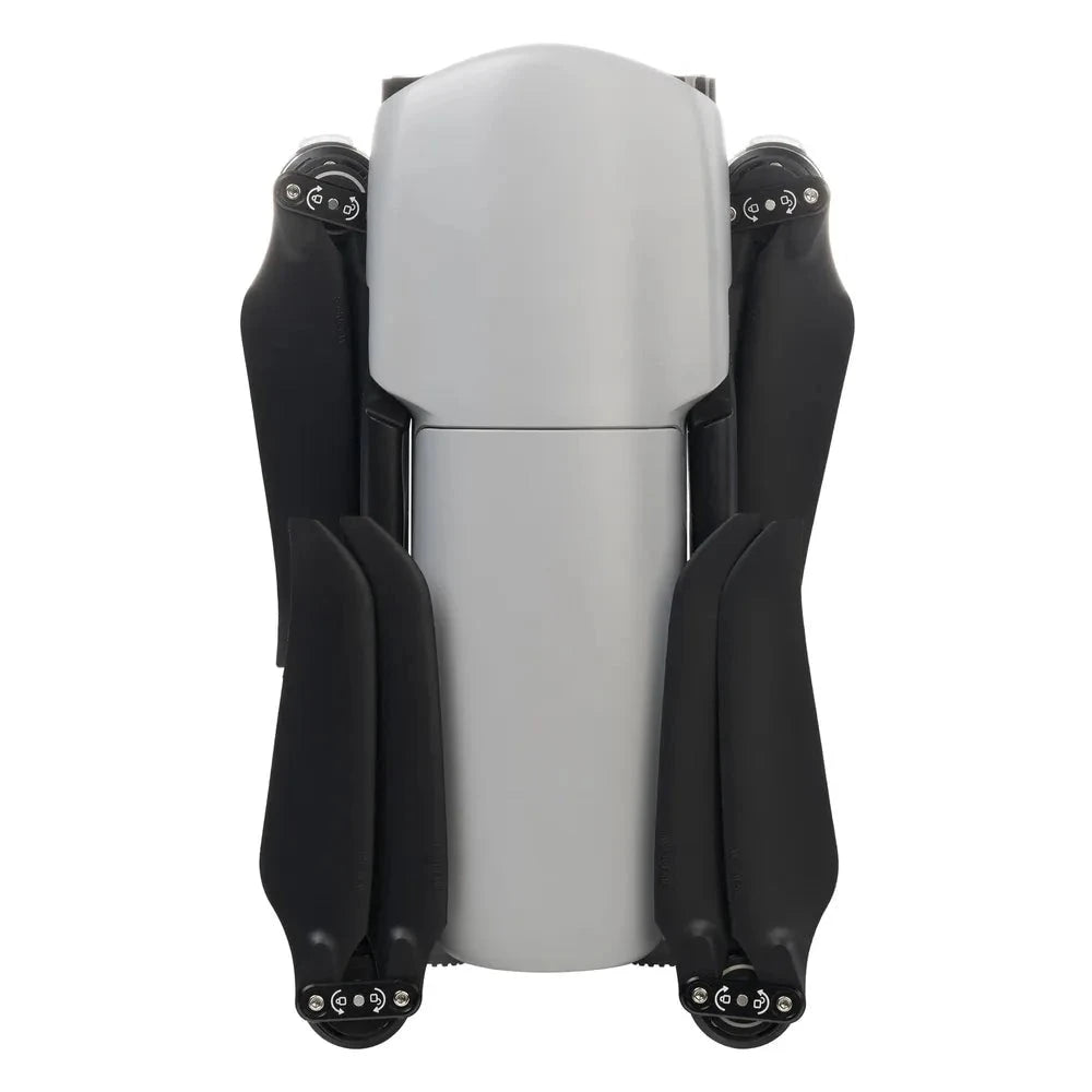
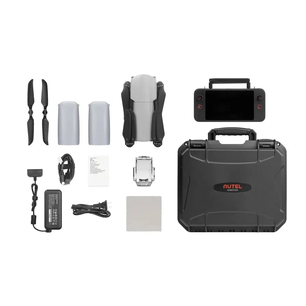
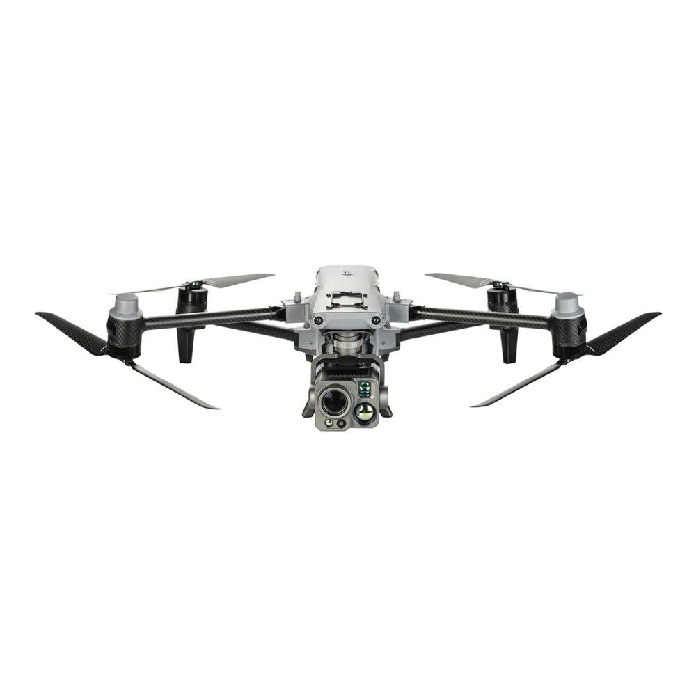
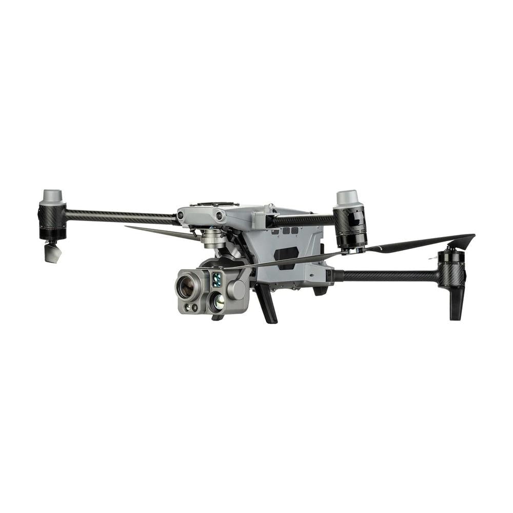
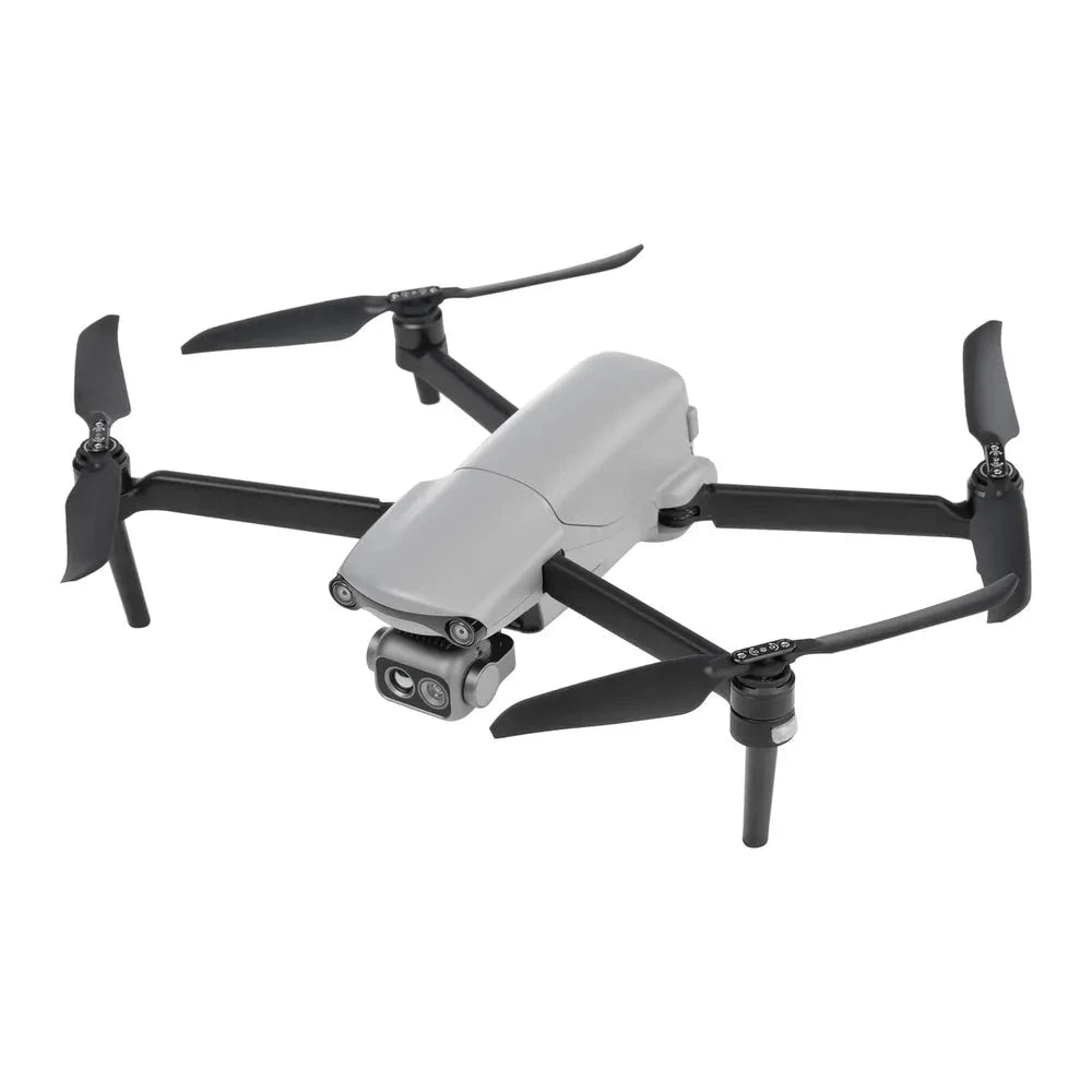
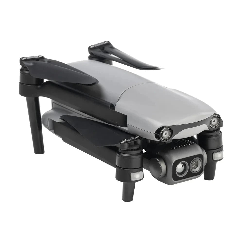
Drones put a stabilized camera or sensor in the air for aerial photography, FPV flying, inspection, mapping and public safety work. We carry Autel Robotics enterprise drones, including the EVO Lite 6K Pro, EVO Lite 640T thermal, EVO II RTK and EVO Max 4T and 4N, plus compact Mini and Avata FPV camera drones and GPS folding drones for beginners.
How to Choose the Right Drones
- Start with the use: compact camera drones for travel and content, FPV drones for immersive flying, thermal and zoom drones for inspection and search, RTK drones for mapping.
- Compare camera sensor size; a 1-inch sensor handles low light and dynamic range better than smaller sensors.
- Check flight time and range; many models here list roughly 30 to 42 minutes per battery.
- Look for obstacle avoidance and GPS return-to-home if you are a newer pilot.
- For professional work, consider radiometric thermal, RTK/PPK positioning and a smart controller.
- Budget for extra batteries; a Fly More or bundle kit is often better value.
Drones FAQs
Do I need a license to fly a drone in the US?
Recreational pilots must pass the free TRUST test and register drones over 250 g with the FAA. Commercial flights require a Part 107 Remote Pilot Certificate.
What is the best drone for beginners?
A GPS drone with return-to-home, obstacle sensing and a stabilized camera is easiest to learn on. Practice in open areas before flying near people or structures.
What is a thermal drone used for?
Thermal drones detect heat, which helps with roof and solar inspections, search and rescue, firefighting and wildlife surveys.
What does RTK mean on a drone?
RTK (real-time kinematic) corrects GPS positioning to centimeter-level accuracy, which is important for surveying and mapping without many ground control points.