
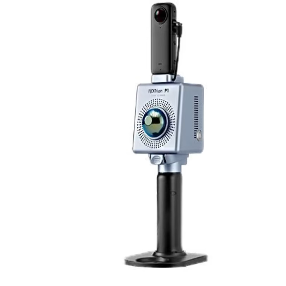
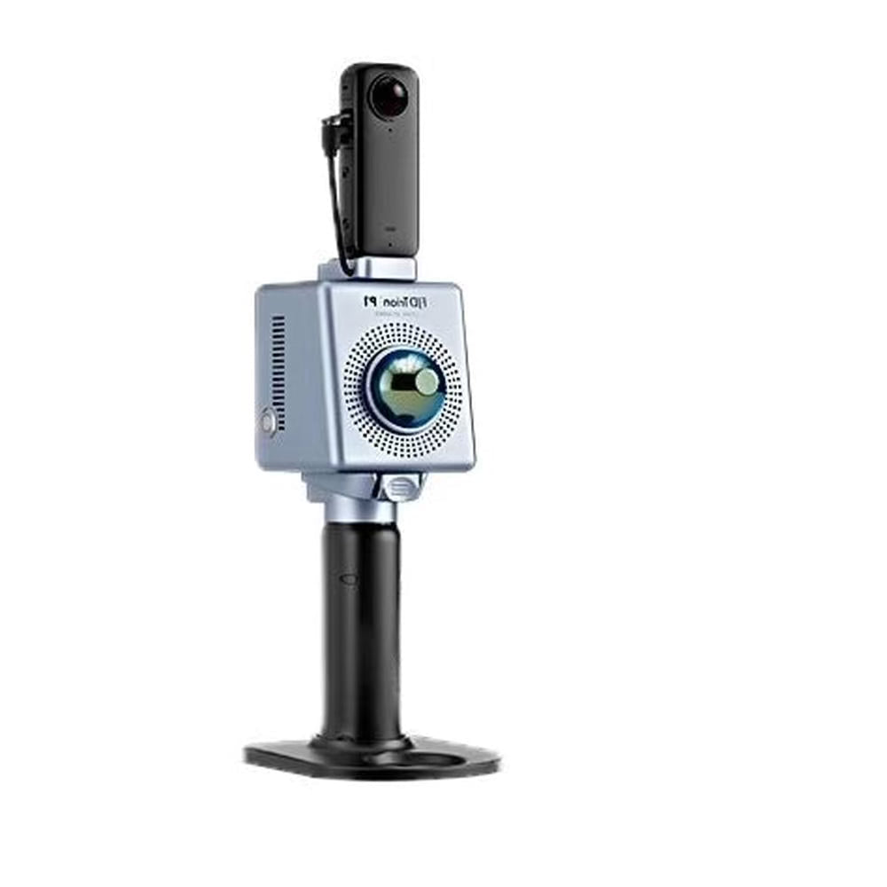
FJD Trion P1 LiDAR Scanner Package
Ships directly from warehouse → Fully supported delivery → Enterprise-grade support
We exist to deliver quality support

Need a Helping Hand? We're Totally Here For You ! Mon - Sat - 8:00AM - 9:30PM EST Phone Number : +1 (972) 737-7434 Or Send a message
Choose options
Need help?
Frequently Asked Questions
Order
Free USA shipping on most orders. Any order with an exception, will have this on the product page and at checkout
It depends on where you are. Orders processed here within 48-72 hours. Most products are delivered between 7-10 business days; any product with an exception would have this on the product page or at checkout.
Yes! We are delighted to meet your needs. You can contact us through our live chat, or feel free to send an email to support@yourtechhaven.com , or better still, call us at +1 (972) 737-7434
We are happy to help.
Yes! All products listed on our site include a manufacturer’s warranty