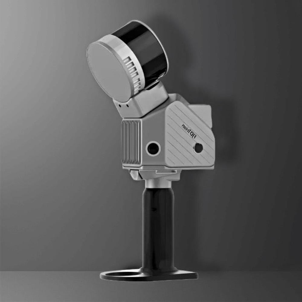
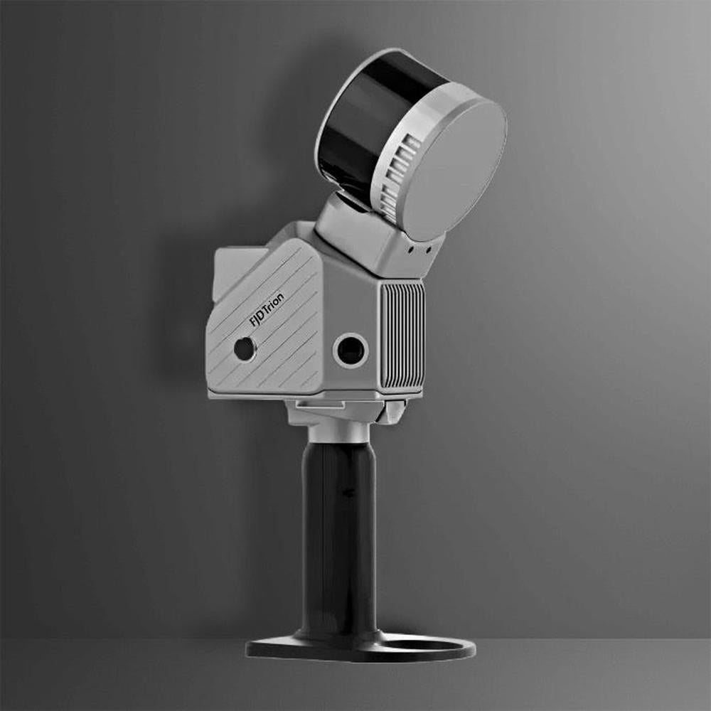
Overview of FJD Trion S2 PRO LiDAR Scanner Package (32 Sensors)
The FJDynamics S2 PRO 3D LiDAR Scanner is a high precision LiDAR system built for demanding geospatial projects. Doubling the scan channel count to 32 compared to the standard S2, it delivers ultra‑dense 3D point clouds at the same long range and accuracy, now at 640 k points/s. It is a luxury business 3D Scanning Solution 3D Scanners
Key Features of this high precision LiDAR Scanner
• High-Density LiDAR Technology – 32 channels delivering up to 640,000 points per second.
• Superior Accuracy – ±1.2 cm relative, ±3 cm absolute accuracy.
• Extended Range – Up to 120 m (80% reflectivity).
• Wide Field of View – 360° × 270° coverage for comprehensive data collection.
• Dual 12 MP Cameras – With 200° FOV and Visual SLAM support.
• RTK/PPK Ready – Multi-constellation GNSS compatibility for precise georeferencing.
• Lightweight & Portable – Just 1.8 kg (excluding battery, camera, RTK module).
• Large Storage Capacity – 512 GB onboard, expandable to 1 TB.
• Flexible Export Formats – .las, .ply, .pts, .e57 for seamless CAD/GIS integration.
• Durable & Field-Ready – Operates between -10°C to 50°C, IP-rated protection.
⸻
Technical Specifications of high precision LiDAR System
LiDAR Details
• Range: 120 m @ 80% reflectivity, 80 m @ 10% reflectivity
• Channels: 32
• Speed: 640,000 pts/s
• FOV: 360° × 270°
• Safety Level: Class 1 / 905 nm eye-safe
System Parameters
• Relative Accuracy: 1.2 cm
• Absolute Accuracy: 3 cm
• Weight: 1.8 kg (excluding battery, external camera, RTK module)
• Battery Life: 3 h (with 1 set of 2 batteries)
• Storage: 512 GB, expandable to 1 TB
• Operating Temperature: -10°C to 50°C
• Power Consumption: 25 W
• Dimensions: 107 × 118 × 398 mm (with base and battery)
• Data Export: Wi-Fi, USB Type-C, USB Type-A
• Point Cloud Format: .las / .ply / .pts / .e57
• Power Supply: 10.8 V, 3 A
Camera
• Resolution: 2 × 12 MP
• FOV: 200°
• Visual SLAM: Supported
• Image Export: Supported (.jpg)
GNSS
• Satellite Constellations:
• BDS: B1I / B2I / B3I / B1C / B2a / B2b
• GPS: L1 C/A / L1C / L2P (Y) / L2C / L5
• GLONASS: G1 / G2 / G3
• Galileo: E1 / E5a / E5b / E6
• QZSS: L1C/A / L1C / L2C / L5
• RTK Accuracy: H: 8 mm + 1 ppm RMS / V: 15 mm + 1 ppm RMS
• PPK: Supported
⸻
What’s in the Box?
• FJD Trion S2 PRO LiDAR Scanner (32-channel)
• Dual 12 MP Camera & Visual SLAM Module
• RTK Module
• Battery Set & Charger
• Calibration Kit
• Mounting Tripod
• Protective Carrying Case
• Data Processing Software License
⸻
Compatibility & Add-Ons
• Works with AutoCAD, GIS, and civil engineering software.
• Supports drone, vehicle, and handheld mounting.
• Mobile app integration for real-time monitoring.
• Optional extra battery packs for extended use.
Manuals also available before purchase :)
⸻
Delivery Time (U.S. Customers)
Ships from FJDynamics U.S. warehouse. Typical delivery window: 1–2 weeks from order confirmation.
This high precision LiDAR technology combines advanced sensors and software. The system offers exceptional accuracy and reliability. It is ideal for professionals needing detailed 3D mapping. Choose this high precision LiDAR scanner for your advanced projects.